The National Weather Service had never issued a tornado warning for Wisconsin in the month of February, but meteorologists were prepared when twisters touched down on Feb. 8, 2024, thanks in part to a University of Wisconsin–Madison initiative.
Meteorologists knew conditions were in place for thunderstorms, said Sarah Marquardt, a senior service hydrologist with the National Weather Service in Milwaukee. But because of uncertainty about cloud cover, they didn't know for sure if temperatures would be warm enough.
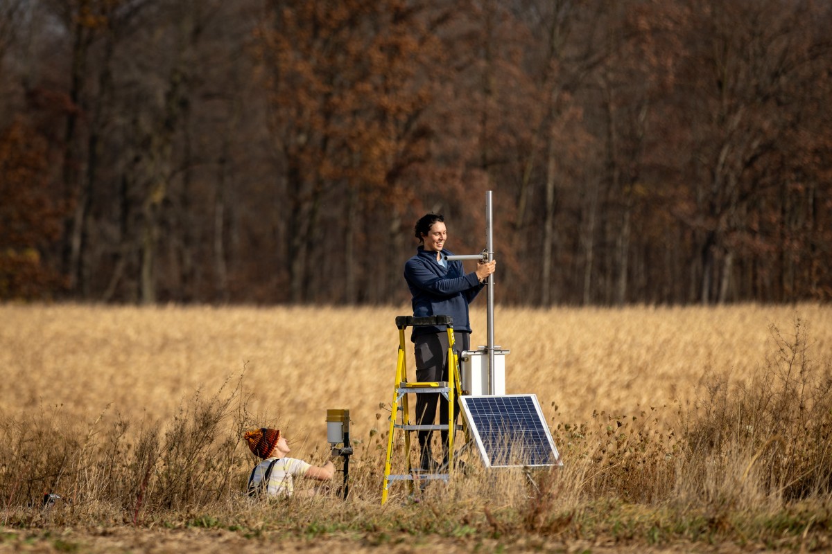
Throughout the day, forecasters monitored weather conditions from stations across the state, including Wisconet, a new network of automated observation towers installed by UW–Madison researchers.
By mid-day, Wisconet and other stations showed higher temperatures and dew points than expected. Seeing those trends, forecasters warned partners – including emergency managers, public works departments, and school districts – that severe storms were likely and tornadoes were possible.
That afternoon, a pair of tornadoes tore through several counties in southeastern Wisconsin, destroying dozens of homes and barns but injuring just one person.
“The Wisconet data helped us get that information out sooner,” Marquardt said.
Michael P. King/UW–Madison CALS
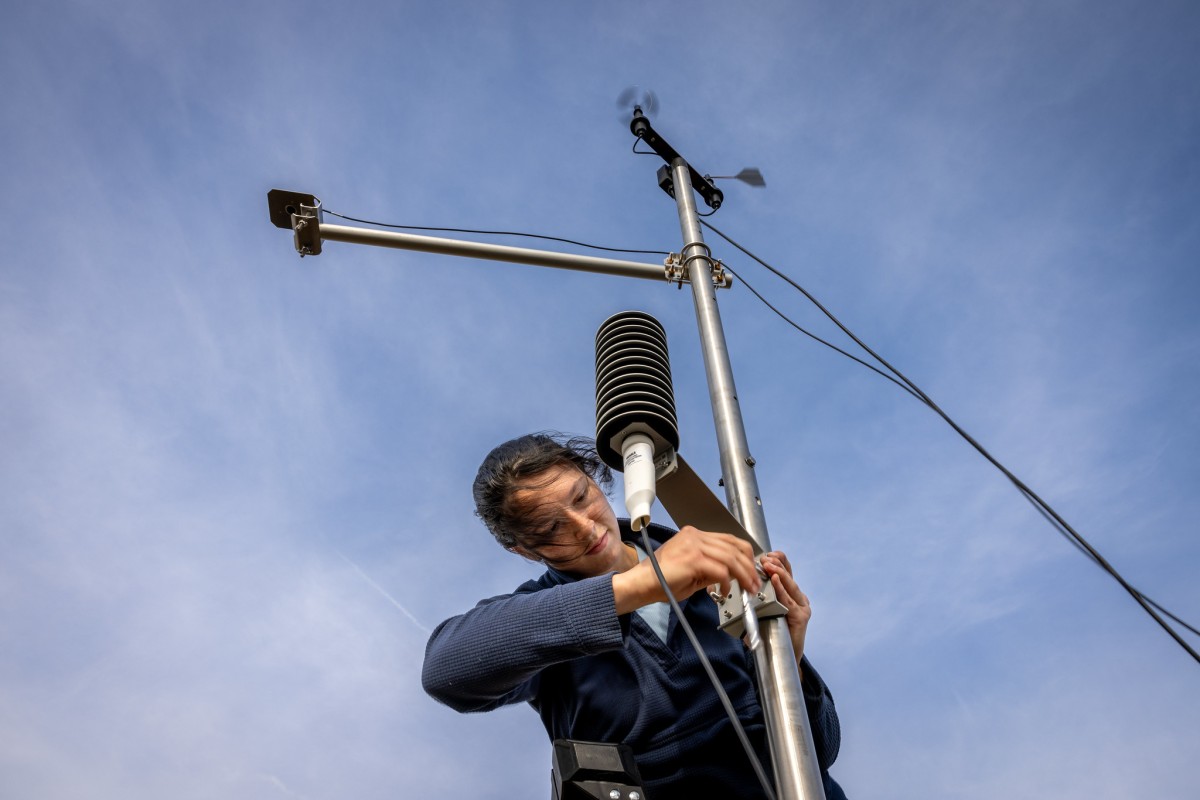
Officially known as the Wisconsin Environmental Mesonet, Wisconet is a network of weather and soil monitoring stations designed to provide a wide array of measurements – from temperature to soil moisture – at five minute intervals from virtually every part of the state.
The goal is to provide timely, accurate, and uniform data to serve research, industry, agriculture, and public safety, said Chris Kucharik, a professor of plant and agroecosystem sciences at UW–Madison who leads the project, funded by a $2.3 million grant from the USDA-funded Wisconsin Rural Partnerships Institute and $1 million from the Wisconsin Alumni Research Foundation.
That data will help scientists better understand what’s happening with the climate, allow meteorologists to improve their forecasts, let public safety and transportation officials stay ahead of fast-changing weather conditions, and inform farmers deciding when to plant, harvest, and treat their crops.
“This is all to support the day-to-day operations that Wisconsinites see on a daily basis, whether it’s making improved farming decisions or just knowing what to wear,” said Chris Vagasky, research program manager.
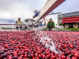
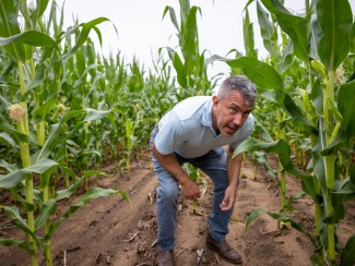
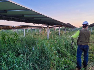
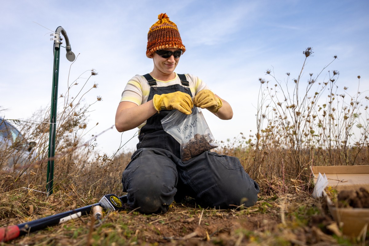
Sited at family farms, cranberry bogs, orchards, and forests, as well as airports, schools, and parks, Wisconet stations record more than a dozen measurements every five minutes, including air and soil temperature, relative humidity, barometric pressure, wind speed and direction, liquid precipitation, solar radiation, leaf wetness, and soil moisture – from two to 40 inches below the surface.
The data is transmitted in real time through cell networks to a server at UW–Madison, where it's collected and checked for quality before being pushed out to the website (wisconet.wisc.edu) for anyone to view or download. (Eventually they hope to add a smartphone app.)
“All of this data is available for you to visualize and analyze to your heart’s content,” Vagasky said.

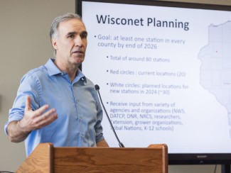
Researchers have installed 58 stations to date, with plans to have at least one in every county in 2025 and eventually as many as 100.
By strategically interspersing the towers with about 120 existing stations (operated primarily by federal agencies), researchers hope to have a high-quality weather station within 20 miles of everyone in Wisconsin.
Vagasky said the combined data will serve as a “super network” for certain variables that will feed a decision-support dashboard – what he calls “a one-stop weather shop.”
That’s the type of interconnected network – or mesonet – needed to protect public safety, transportation, agriculture, and the economy, according to a 2008 report by the National Academies of Science.
More stations making more frequent measurements translates to more granular data about an increasingly fickle and dynamic climate, where the weather not only changes by the minute but also by the mile.
“Weather is always extremely, extremely local, which is another reason that we're trying to get everybody really close to a weather station,” Vagasky said.
Getting a jump on extreme weather
Brandon Larson, emergency management director for Vernon County and president of the Wisconsin Emergency Management Association, said this type of data is especially valuable in hilly areas like southwest Wisconsin, where heavy rains can turn peaceful trout streams into raging rivers.
Vernon County has been hit by 11 flash flood events since 2014, including one in 2016 that left two people dead and caused nearly $9 million in damages, according to the National Weather Service.
“We’re always trying to be proactive versus reactive,” Larson said. “You can see the radar. There’s pretty colors out there, but getting those ground truth rainfall amounts is a lot nicer, because then you know for sure ... what has fallen.”
Knowing what’s happening on the ground also improves weather forecasting, Marquardt said.
The National Weather Service uses rain gauge measurements to calibrate its radar readings, which help meteorologists estimate how much rain or snow is falling. The more data available, the more accurate the estimates.
That means forecasters can more quickly warn people to seek higher ground when there's a risk of flash flooding, or more accurately predict when rain will turn to sleet or snow during a winter storm.
State Climatologist Stephen Vavrus said uniform, high-resolution data will also aid climate researchers, who have had to rely on measurements from different areas that can’t be directly compared if gathered using different equipment or techniques.
That could be especially valuable in determining drought conditions, which can vary from county to county.
“Drought relief dollars depend on which county happens to fall into a particular drought category,” Vavrus said during a Wisconsin Energy Institute forum. “So we’ve got to get this right. It’s a dollars and cents issue for farmers.”
‘A win-win-win’
Emergency notifications are a delicate balancing act for public safety officials: too many warnings and people start to tune them out or opt out entirely.
“We’re pretty careful on how much we push out repeatedly, because we don’t want to lose people,” Larson said. “So we’re pretty selective on how much we message and when we message.”
Local weather data can also be valuable in the wake of disasters, when local officials submit requests for state or federal disaster declarations.
“You have to quantify a certain level of damage,” said Jim Burns, emergency manager for the city of New Berlin. “Being able to quantify high wind speeds … from a trusted third-party is critical.”
Burns said when he learned about the project he jumped at the opportunity to host a station near city hall in the city of about 40,000 residents just west of Milwaukee.
“Emergency management does not have a big budget,” he said. “Any time we’re able to provide something to citizens with this level of instrumentation, this quality, being taken care of by a third party … is a win-win-win for everybody.”
This story originally appeared in Wisconsin Counties Magazine, a publication of the Wisconsin Counties Association.

